
Update: 22.09.2025
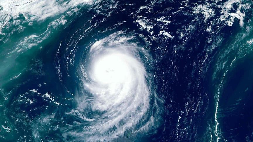
Kuehne+Nagel reports that typhoon Ragasa intensified over the weekend, prompting high alert warnings in South China.
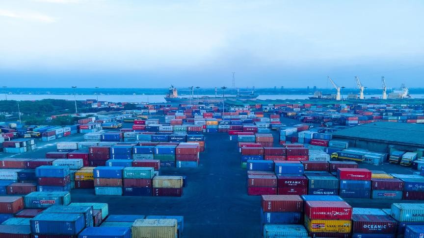
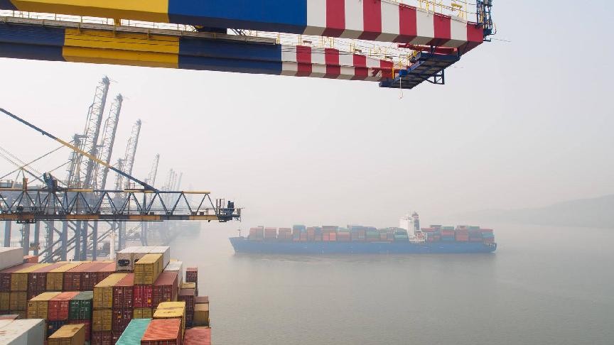
All major container terminals in South China (excluding Xiamen Port) have issued typhoon alerts and suspended gate operations. On 24 September, rail services in Guangdong Province will also be suspended.
Operations are likely to remain suspended until 25 or 26 September, creating an overall shipment delay of 4–5 days.
The Philippines, Taiwan, and Hong Kong will also be affected by the storm during the week.
For more information, please consult our latest advisories in English and Chinese or check the latest port statuses on the seaexplorer alert map.
Original article: 19.09.2025
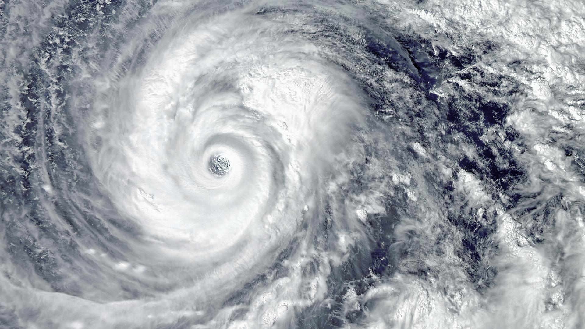
Tropical Storm Ragasa, which recently formed from a tropical depression in Southeast Asia, is advancing towards the East Sea and is expected to strengthen considerably as it encounters warmer waters.
Meteorological agencies anticipate that Ragasa could escalate to a category 4 or 5 super typhoon between 20 and 22 September 2025, as it moves through the region east of Luzon in the Philippines.
The Philippine Atmospheric, Geophysical and Astronomical Services Administration (PAGASA) mentioned that the storm will have maximum sustained winds of 65 km/h and gusts reaching 80 km/h.
PAGASA warned of heavy rainfall and gusty winds impacting exposed coastal areas on 22 September.
Forecasts further suggest Ragasa may cross China’s Leizhou Peninsula and subsequently affect Vietnam’s North-Central and Red River Delta areas, including provinces such as Thanh Hoa and Ninh Binh.
Vietnamese meteorological authorities have highlighted the risk of Ragasa making landfall in Vietnam. The storm could bring strong winds and significant rainfall to the northern provinces.
The storm is also expected to make landfall in Guangdong, China. In addition, the Japan Meteorological Agency (JMA) has classified Ragasa as an international tropical storm and released a five-day forecast for its trajectory.