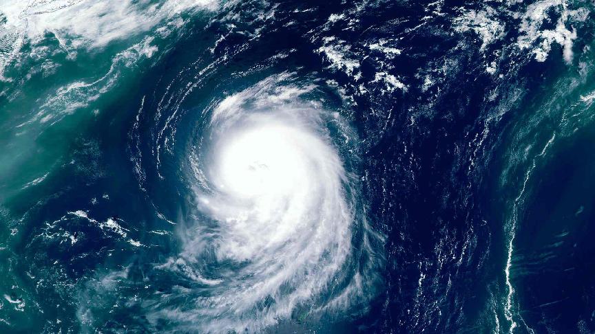
Taiwan issued a warning ahead of the arrival of Typhoon Krathon, which intensified into the equivalent of a Category 4 hurricane. The typhoon is expected to cross the densely populated west coast, bringing torrential rain and strong winds.
Unlike the usual typhoons that land along Taiwan’s mountainous and sparsely populated east coast, Krathon is forecast to hit the major port city of Kaohsiung early on Wednesday afternoon.
The Central Weather Administration (CWA) reports that the typhoon will then move across the centre of Taiwan, heading northeast before exiting into the East China Sea.
Krathon has strengthened significantly, packing powerful winds of more than 210 kph (125 mph) near its centre. The typhoon’s maximum sustained winds are 175 km/h, with gusts reaching up to 240 km/h.
Taiwanese authorities have mobilised over 1,000 rubber boats and 15,000 soldiers across the island, including on the eastern coast, where up to 1.3 metres (four feet) of rain is expected in the coming days.
In addition, Japanese weather officials forecast Typhoon Krathon to approach the southwestern islands of Okinawa Prefecture over the next few days.
According to local media NHK, Tropical Storm Jebi is also expected to approach the Kanto region, including Tokyo.
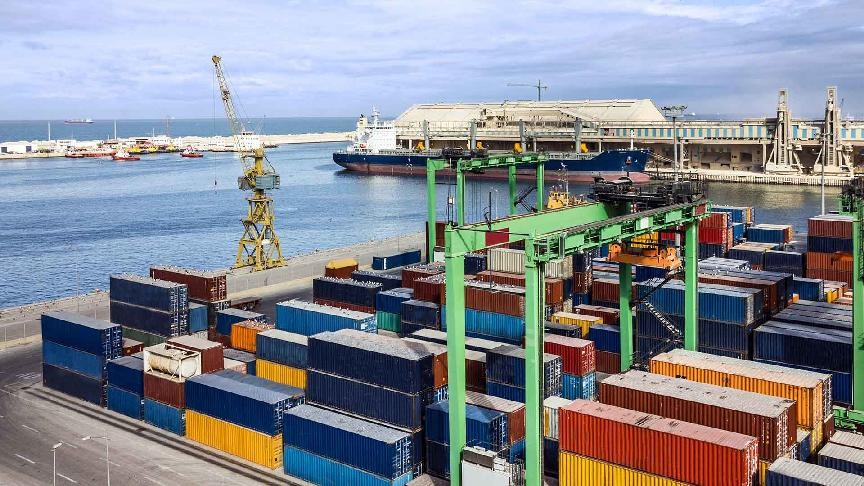
Due to weather conditions, vessel traffic at ports, port operations, and cargo transport in the affected area are likely to halt.


