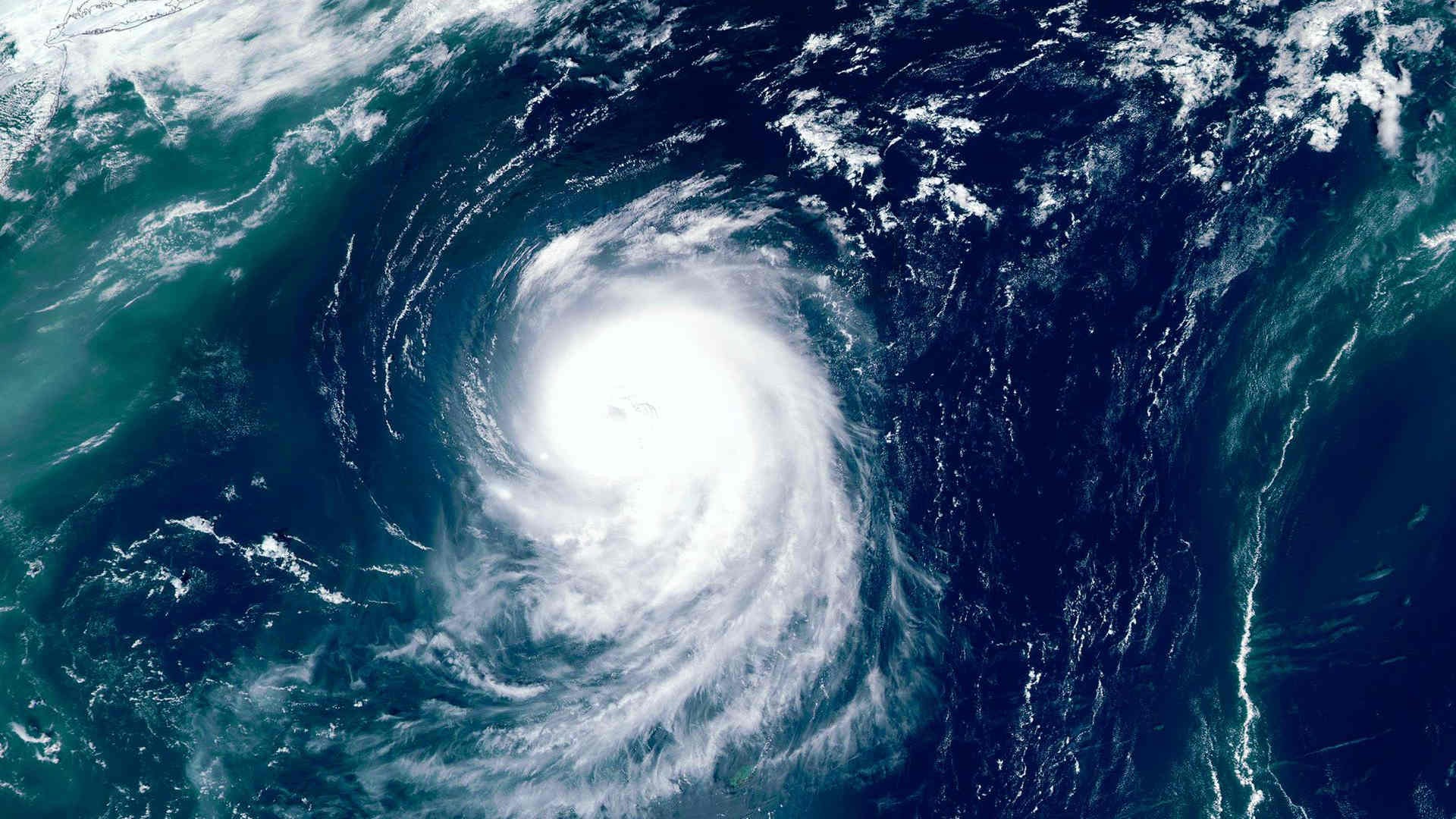

Hurricane Polo, which hit Mexico’s Pacific coast on 22 September with a Category 5 strength, weakened slightly by today, 23 September. The storm was described as one of the most powerful hurricanes recorded in the basin and among the fastest-forming in the region.
Despite weakening from its peak intensity by 23 September, forecasters said Polo was expected to remain a very powerful major hurricane over the coming days.
Forecasts indicated wind speeds would remain above 125 knots through 25 September, while tropical storm warnings extended along parts of Mexico’s western coastline.
According to CBS News, Polo was classified as a Category 4 hurricane by 23 September. However, forecasters expect fluctuations in intensity, warning that the storm will continue moving near Mexico’s Pacific shoreline without making landfall.
The hurricane was located off the coast near Zihuatanejo in Guerrero and Manzanillo in Colima.
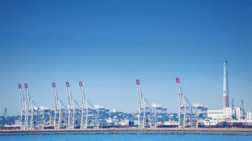
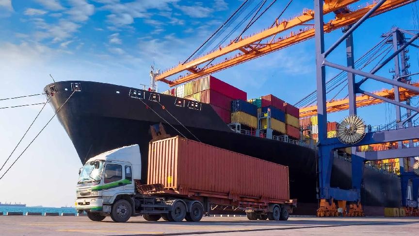
The storm is expected to impact coastal regions near the container ports of Manzanillo and Lázaro Cárdenas, although no port operational impacts were reported in the source material.
Heavy rainfall associated with the hurricane was expected to create flooding and mudslide risks in affected areas.
Forecasts also warned of dangerous surf conditions and rip currents along Mexico’s south-western coast. Rainfall linked to the storm system was also reported as far north as New Mexico.