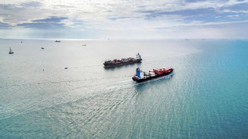

INCIDENTS of Global Navigation Satellite System interference have surged in the Middle East Gulf and the Gulf of Oman since the onset of the war in Iran, with hundreds of vessels affected and the scale of disruption escalating rapidly.
Lloyd’s List Intelligence vessel-tracking data shows 655 different cargo‑carrying ships appearing off the UAE ports of Dubai, Abu Dhabi and Fujairah since February 28, up from 276 on the first day of the war to 420 by March 2.
Many vessels have been hit multiple times, contributing to a total of 1,735 interference events, each typically lasting three to four hours.
Daily incidents have more than doubled, rising from 350 when the conflict began to 672 by March 2.
About 600 GNSS‑jamming incidents involved vessels off the UAE, with more than 80 recorded off Iran, around 50 off Oman and about 10 off Qatar, highlighting how widespread the interference has become across the region.
GNSS disruption is a familiar feature of conflict zones, but experts say the current pattern is shifting.
Royal Institute of Navigation chief executive Ramsey Faragher said that new hotspots are clustering south of Iran and closer to the UAE and Oman, suggesting those states may be deploying defensive countermeasures against potential unmanned strikes. He added that it is also possible Iranian vessels in the strait are transmitting high‑powered signals that are spilling across the region.
“I think it’s most likely that it is the neighbouring countries trying to prevent Iranian strikes that today appear to have been targeting multiple neighbours,” said Faragher.
Ships affected by GNSS interference are essentially being caught in attempts to disrupt or manipulate satellite‑based navigation.
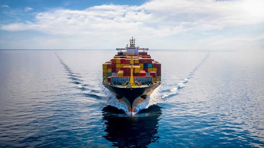
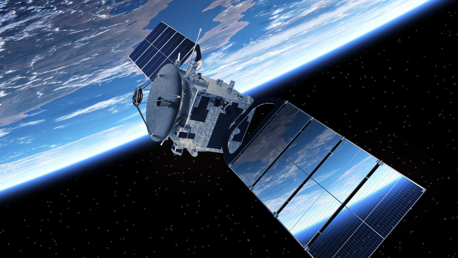
Modern vessels rely on GNSS signals, such as GPS, to determine their position, which is then fed into the Automatic Identification System and shared with other ships and coastal authorities.
When a third party transmits a much stronger signal than the satellites, the ship’s receiver locks onto the false data instead of the genuine feed, causing its reported position to become inaccurate or misleading.
According to Faragher, such interference is typically driven by a mix of tactical, operational and illicit motives.
It can act as a defensive “force field” to confuse or disable cheap drones and simple guided weapons, forcing an adversary to use more sophisticated systems. It can be used to disrupt transport logistics and supply chains or to trigger accidents such as collisions or groundings.
In some cases, the aim is a cyberattack rather than navigational disruption, as corrupted GNSS position or timing data can cause secondary onboard systems to fail. Interference can also serve as cover for illegal activity, such as masking ship‑to‑ship transfers by obscuring a vessel’s true location.
In the current conflict, both sides are using jamming and spoofing tactically. This is either to shield themselves from unmanned threats or to support offensive operations.
“I think Iran is trying to deny use of the Strait of Hormuz, and the neighbouring countries have turned on their drone defences. The entire region is full of noise from lots of sources,” Faragher told Lloyd’s List.
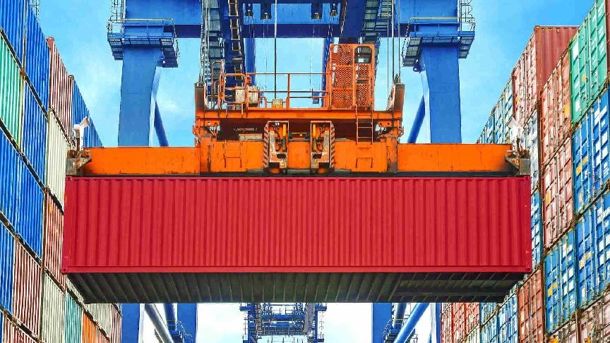
Most of the vessels affected by the jamming were bulk carriers (117), product tankers (100), chemical tankers (86), crude tankers (77) and containerships (72), highlighting how widely the interference has spread across commercial shipping.
Similar manipulation has been seen before: more than 100 cargo-carrying vessels appeared to “jump” to Beirut airport in April 2024, and AIS spoofing became common across the region after the Gaza conflict began in late 2023.
GPS interference has also been recorded repeatedly in the Red Sea in recent years and to this day, while the Black Sea remains another hotspot as Russia seeks to disrupt Ukrainian operations.
The Royal Institute of Navigation warned in June last year that GNSS interference is now a persistent maritime safety threat, which endangers lives at sea, increases environmental risks, and can delay assistance and rescue efforts.
Faragher expects the current wave of interference to outlast the missile exchanges themselves, suggesting the navigational disruption will continue even if hostilities ease.
“There have been many examples over the years of Iran being accused of manipulating GNSS for particular target vessels to force them to stray into territorial waters and then be targets for capture, we may now see more examples of such targeting of individual vessels, for example to potentially attempt to cause groundings or collisions.”