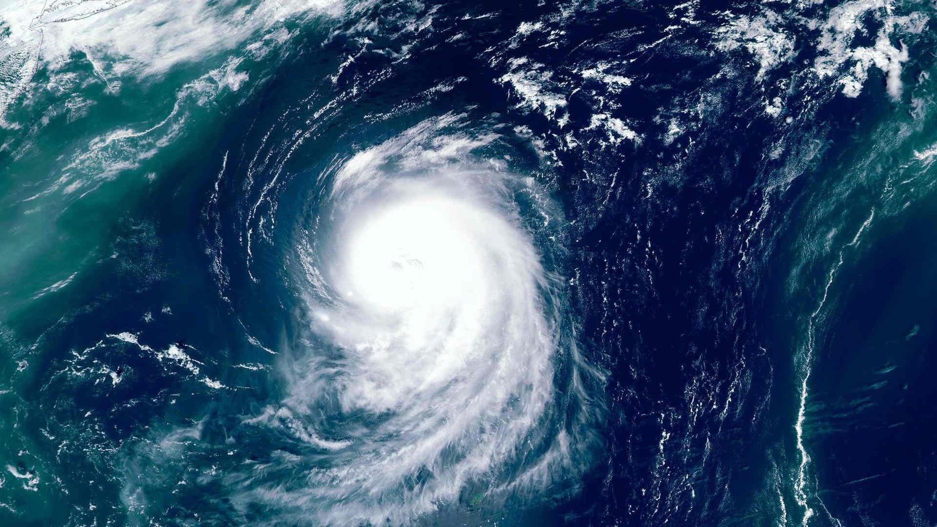

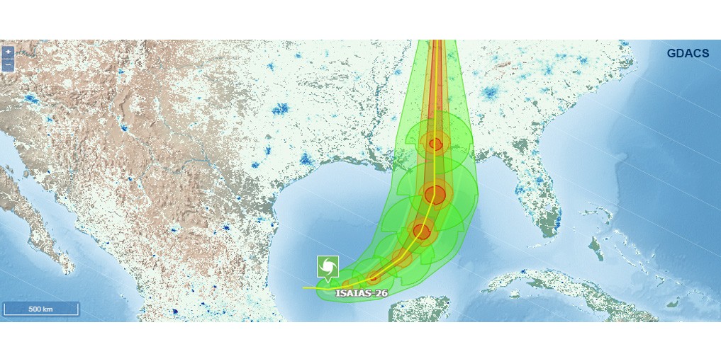
Tropical Storm Isaias has formed in the southern Gulf of the US and Mexico and is forecast to intensify quickly into a hurricane before reaching the northern Gulf Coast later this week.
According to FOX News, current forecasts indicate the system could strengthen from winds of 40 mph on Wednesday morning to 75 mph by 02:00 on Thursday. Wind speeds are then expected to increase further, reaching 110 mph between 02:00 on Thursday and 02:00 on Friday.
The storm is projected to move towards the northern Gulf Coast, with landfall currently anticipated between late Friday and early Saturday.
Forecasts place the most likely landfall area between Biloxi, Mississippi, and Panama City, Florida, although uncertainty remains regarding both the exact location and strength of the storm at that time.
Florida has declared a state of emergency in advance of the system's arrival, reports FOX News.
Heavy rainfall is expected to begin on Friday. Forecasts also highlight the potential for flash flooding, damaging wind gusts, storm surge and tornadoes as Isaias approaches and moves ashore.
The forecast track points towards impacts across parts of Louisiana, Alabama, Mississippi and the Florida Panhandle, affecting an area with approximately 30 million people.
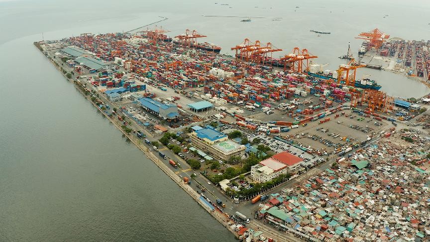
Among the US ports expected to experience impacts are New Orleans and Mobile.
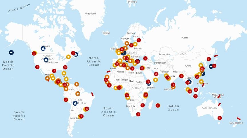
For the latest port and vessel statuses or situation updates, please refer to the seaexplorer alert map.