
Update: 10.04.2026
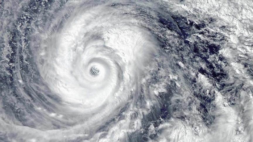
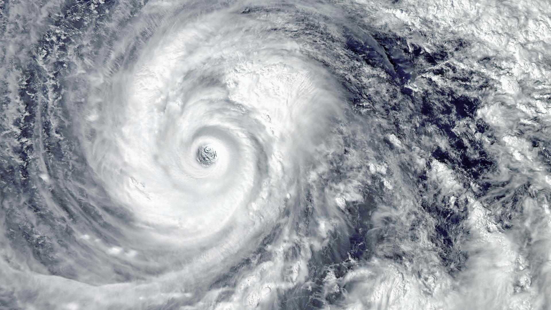
Tropical Cyclone Vaianu forecasts prompted further warnings in New Zealand.
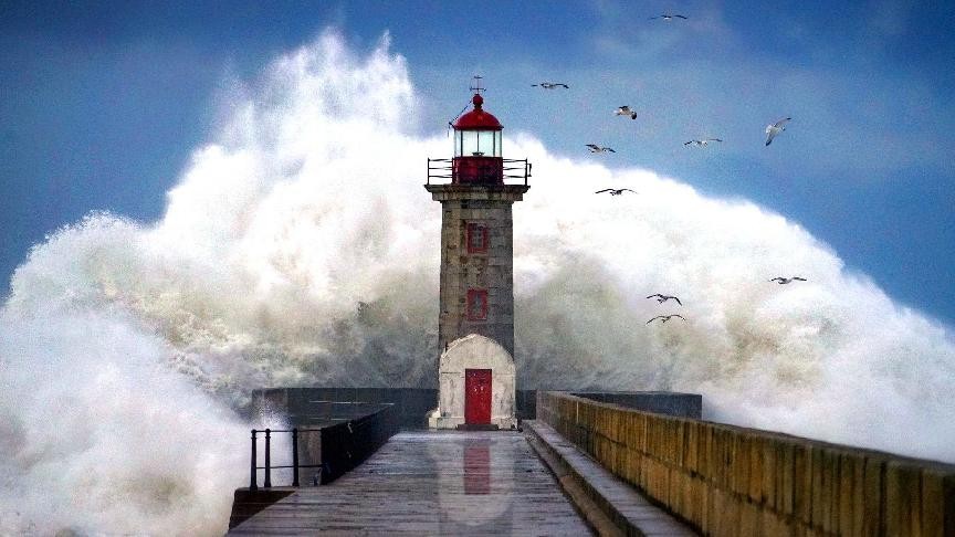
An announcement by Napier Port highligted that further disruption anticipated over the coming weekend due to the storm.
The port confirmed that vessel operations will be suspended from approximately late afternoon on Saturday, 11 April, until midday on Monday, 13 April. The decision follows forecasts indicating significant swell linked to the cyclone.
In response to these conditions, Napier Port is also adjusting access arrangements as an added safety measure. These changes are intended to manage movement in and out of the port area during the affected period.
Additionally, from 17:00 on Saturday 11 April, the Eastern Gate will be closed. At the same time, security operations will be transferred to the Western Gate gatehouse.
Meanwhile, the Western Gate will operate for receive and deliver activity during normal hours on Saturday before closing at 12:00 for the remainder of the weekend. Later the same day, from 17:00, the Western Gate will reopen to serve as the sole access point to the port while the Eastern Gate remains closed.
Elsewhere in New Zealand, the Port of Auckland has also been preparing for the arrival of Cyclone Vaianu. Ongoing monitoring of weather forecasts has informed operational decisions across its facilities.
Due to the cyclone’s predicted peak, the Port of Auckland will pause all vessel and port operations from 15:00 on Saturday, 11 April, until 07:00 on Monday, 13 April.
The suspension will apply at both Fergusson Terminal and the Multi‑Cargo terminal.
Original article: 09.04.2026
New Zealand authorities are preparing for the arrival of Tropical Cyclone Vaianu later this week, following warnings from the National Emergency Management Agency that the system is expected to be severe.
The agency has urged residents to make preparations in advance of its forecast arrival.
MetService earlier reported that the cyclone had sustained winds of 95 km/h at its centre. Forecast tracking indicates the system is expected to cross New Zealand, with current conditions prompting a range of weather watches across the country.
Forecasters have advised that the cyclone could have potentially life‑threatening impacts when it reaches the country. Strong wind and heavy rain watches have been issued for much of the upper and central North Island, beginning late on Saturday.
While the precise impact on transportation is still unclear, the storm could cause power outages, flooding, slips, road closures and isolated communities.
Maritime operations are already adjusting to the projected conditions.
An advisory by Tauranga Port announced it will suspend all inbound vessel movements from 18:00 on Friday, 10 April. The earliest anticipated reopening for vessel entry is 08:00 on Monday, 13 April, subject to weather and harbour conditions.
Swell conditions are forecast to exceed safe operating limits from early Saturday. As a result, Tauranga anchorage is not recommended, and vessels have been advised to seek suitable shelter clear of the storm system.
Tauranga Container Terminal currently plans to retain its existing berth line‑up for recovery, with cargo operations expected to recommence on Monday.
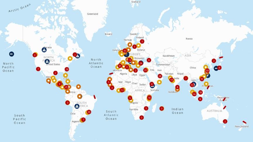
For the latest port and vessel statuses or situation updates, please refer to the seaexplorer alert map.