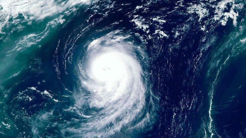

A tropical storm is expected to cause heavy rainfall in the United States' Gulf Coast on Wednesday.
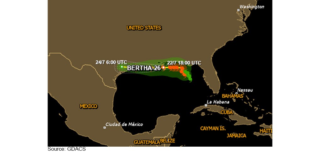
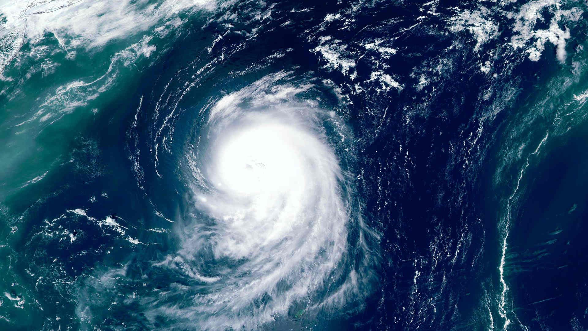
The storm, named Bertha, will impact large areas of the northern Gulf Coast as it moves its way westward from the Gulf of Mexico, reports CBS News.
Storm Bertha is expected to affect coastal locations from the Florida Panhandle to Texas today. It will later gradually weaken over the coming days as it moves near or along the northern Gulf Coast.
Maximum sustained winds were reported at 50 mph in the latest update, down from 60 mph on Tuesday night.
At the Port of Mobile, Port Condition WHISKEY remains in effect, which is a storm alert level where ports generally remain open to commercial traffic but undergo preparedness activities for a potential impact.
According to media information, the Mobile Port pilots have suspended operations until further notice, and are likely to maintain their status on Wednesday, subject to weather conditions.
Similarly, in New Orleans and on the Lower Mississippi River, Port Condition WHISKEY is also active, and weather impacts are anticipated south of the river from early Wednesday morning local time.
Further west, Lake Charles remains under observation as Bertha could move towards the area later this week. LNG terminal schedules are being reviewed, while pilots have yet to determine whether channel closures will be necessary.
The ports of Houston, Freeport, and Tampa have not reported any port closures. However, operators in Houston have been advised to secure equipment on decks and docks as appropriate.