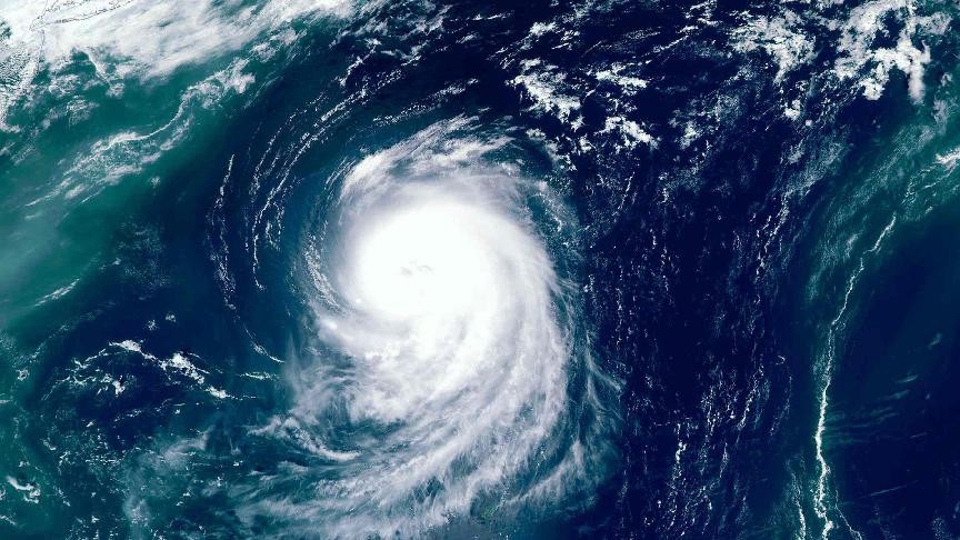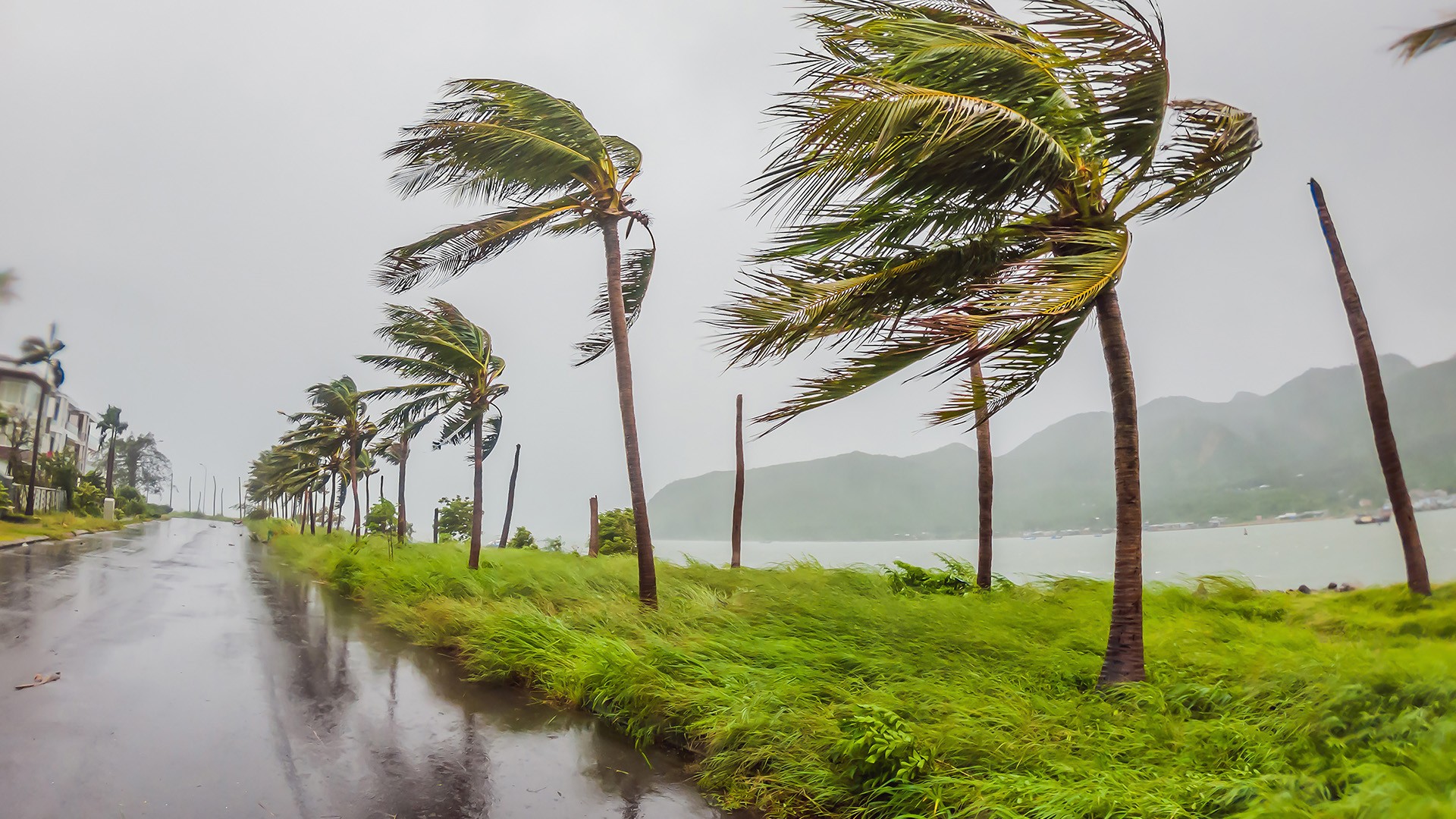

Tropical Storm Rachel is expected to continue affecting Mexico’s Pacific coast, with authorities warning of strong winds, heavy rainfall and hazardous sea conditions in several coastal states.
According to the National Weather Service, gusts reaching tropical-storm force remain possible along parts of southwestern Mexico.
Additional rainfall of 2 to 4 inches is forecast across coastal areas of Guerrero, Michoacán, Colima and Jalisco, while isolated locations could record storm totals of up to 12 inches.
The rainfall is expected to create a risk of flooding and mudslides, particularly in areas of steep terrain. Swell generated by the storm is also forecast to affect Mexico’s southwestern coastline before extending northwards along the west-central coast and the Baja California Peninsula through the end of the week.
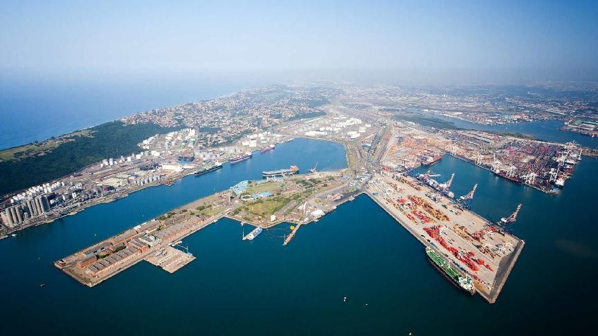
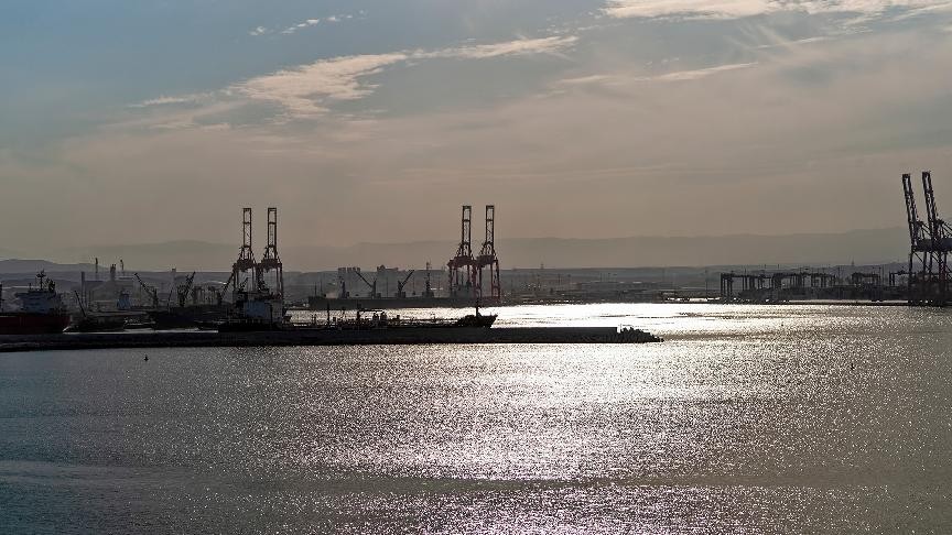
Consequently, weather conditions linked to the storm may temporarily affect operations at the Pacific ports of Manzanillo and Lazaro Cardenas.
While activities are continuing, port and maritime authorities may introduce operational measures, including navigation restrictions, vessel schedule changes and adjustments affecting port and inland transport operations.
As a result, import and export shipments moving through the ports could face delays to transit, arrival, discharge, customs clearance and cargo collection. More information is available in our latest advisory.
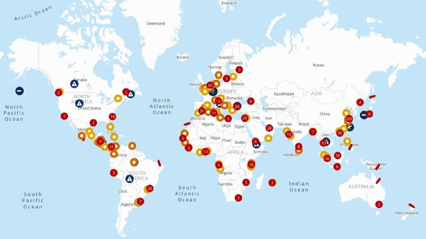
For the latest port and vessel statuses or situation updates, please refer to the seaexplorer alert map.