INCIDENTS of Global Navigation Satellite System interference that have skyrocketed with the start of the war in Iran in the Middle East Gulf and the Gulf of Oman continue to increase.
Lloyd’s List Intelligence vessel-tracking data shows 559 vessels were affected by the GNSS interference on March 7. The number was 283 on the first day of the war.
Since the start of the war on February 28, up to March 7, a total of 3,719 incidents took place as hundreds of cargo‑carrying ships appeared off the UAE ports of Dubai, Abu Dhabi and Fujairah.
A total of 2,694 vessels have been affected by the GPS jamming in the first eight days of the war, each typically lasting seven to eight hours. Some of the vessels have been hit by the jamming multiple times as the pattern is shifting.
Both the number of vessels that have been affected and the number of incidents have dropped for a few days after they more than doubled on March 2, but according to data, it surged once again on March 7.
About 925 incidents of GNSS‑jamming fabricated vessel locations off the UAE, with more than 414 recorded off Iran, around 190 off Oman and about 10 off Qatar between February 28 and March 7.
GNSS disruption is a familiar feature of conflict zones, but experts say the current pattern is shifting.
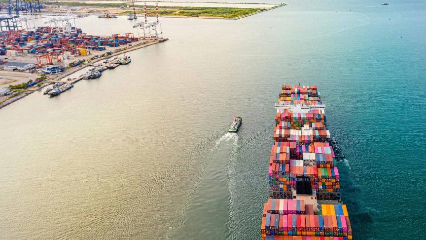
Vessels affected by GNSS interference are basically experiencing disruption of satellite-based navigation signals. Modern ships depend on Global Navigation Satellite Systems, such as GPS, to determine their position. This data that shows their location is integrated into the Automatic Identification System and transmitted to nearby vessels and coastal monitoring authorities.
When a third party transmits signals that are significantly stronger than those sent by GNSS satellites, the ship’s receiver may lock on to the false signal. As a result, the vessel’s calculated and reported position can become inaccurate or intentionally misleading.
Royal Institute of Navigation chief executive Ramsey Faragher told Lloyd’s List that the reason for the increasing GNSS interference incidents in the regions could be both because the UAE, Qatar and Oman may be deploying defensive countermeasures against potential unmanned strikes by Iran, or Iranian vessels in the Strait of Hormuz are transmitting high‑powered signals that are spilling across the region.
“The entire region is full of noise from lots of sources,” Faragher said, adding that he expects the current wave of interference will continue even if hostilities ease.